Welcome to Golden Labyrinth, an independent earth art installation in Martinez, California
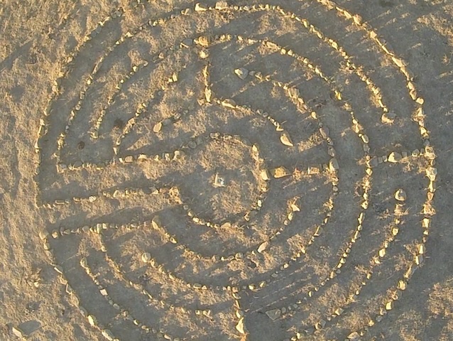
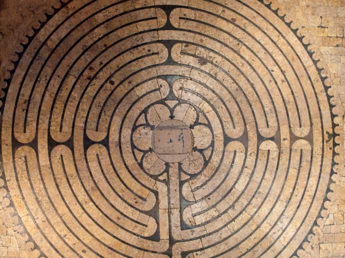
Labyrinth diagram
US Coastal and Geodetic Survey mark “Martinez"
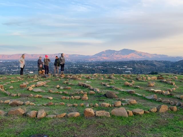
Labyrinth site location
Curious cows are cute, but kick the labyrinth
path rocks around and knock over calendar stones
|
Labyrinth
The project’s design is a variation on the five circuit medieval labyrinth with some fairly unique features:
LocationIn the East Bay Regional Parks District Carquinez Strait Regional Shoreline park, atop a hill with sweeping 360 degree views of Mount Diablo, Mount Tamalpais, the Carquinez Straits, Suisun Bay, and more. GPS coordinates:38.00563612450541, -122.14781079080338
DirectionsPark at the west end of “F” Street in Martinez and hike on the dirt fire road westward and uphill, continuing west and/or uphill at every intersection. Hike to the highest point possible without leaving the road (about 1 mile), where you will see the labyrinth on your right. Best to use the GPS coordinates. It is a moderately strenuous hike with a 700 ft gain in elevation.
ConstructionThe building material is stone sourced from nearby cell tower construction sites, hand-carried uphill from ¼ mile away. The project adheres to East Bay Regional Parks District Rules and Regulations (Ordinance 38 section 805): “No person shall damage, injure, collect or remove earth, rocks, sand, gravel, fossils, minerals, features of caves, or any article or artifact of geological interest or value located on District parklands.”
OthersLooking for other labyrinths?
ContactInterested in participating in its development
or maintenance? Become a friend of Golden
Labyrinth! We can add you to the mailing list and
the community. Questions about the project?
Drop us a note. friends@goldenlabyrinth.org |
Copyright © 2023 Golden Labyrinth - All Rights Reserved.